surface drainage
LiDAR Survey of Historic Mining Area
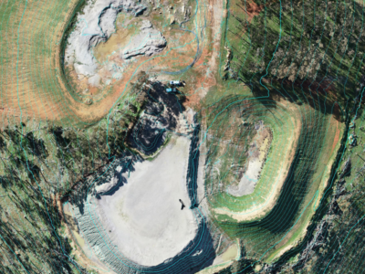
Drone-LiDAR Survey to develop a High resolution terrain model of historical mining…
Slope Drainage Monitoring and Watershed Analysis
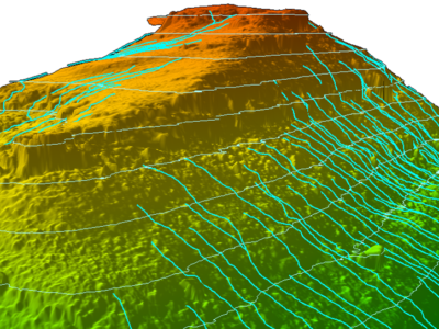
LiDAR and geospatial analysis of rail corridor slopes for inspection and monitoring…
Rail Corridor Drainage Mapping
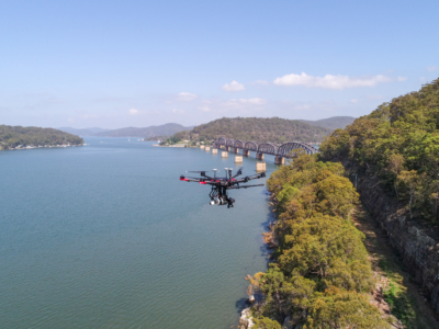
Drone LiDAR survey through dense vegetation to identify and Complete surface drainage…


