scan-to-cad
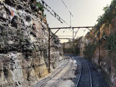
As-Built Survey of Rail Corridor for Engineering Design
High resolution drone LiDAR, photogrammetry and as-built survey of rail corridor for…
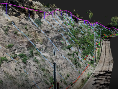
Work As Executed Survey Using Photogrammetry
A Scan-to-CAD workflow done a little bit differently – using Drone Photogrammetry…