photogrammetry model
Change Detection of Dam Spillway
Drone LiDAR and photogrammetry survey of dam spillway after rain events to…

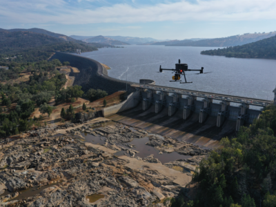
3D Survey & Digital twin of Dam & Water Infrastructure
Geospatial Survey of Dam & Infrastructure using Drone LiDAR, photogrammetry, laser scanning…
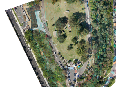
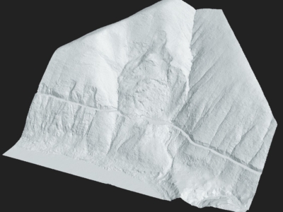
Aerial Survey of Council Lookout for Geotechnical Assessment
Drone-LiDAR survey and 3D photogrammetry modelling of slopes and surrounding area of…
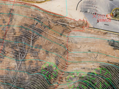
Complete Spatial Solution for Geotechnical Assessment
LiDAR, photogrammetry and Laser Scanning of road corridor and landslip for geotechnical…
Geospatial Survey for Geotechnical Assessment
Drone LiDAR, photogrammetry modelling and geospatial analysis of rockfall and landslide to…
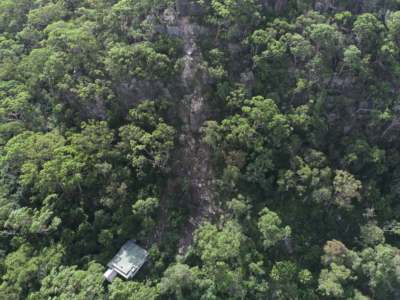
Drone Survey for Landslip Assessment
Drone LiDAR and photogrammetry survey of landslip area to identify extent of…
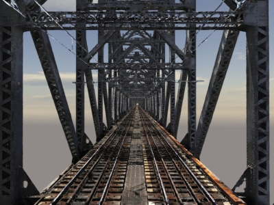
High Detail Digital Twin of Rail Bridge
High Detail Digital Twin of rail bridge to assist with the planning…
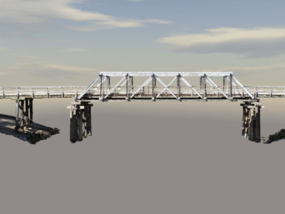
Photogrammetry Modelling of a Bridge
High detail photogrammetry modelling of a bridge for heritage archives. PROJECT OVERVIEW…