mapping
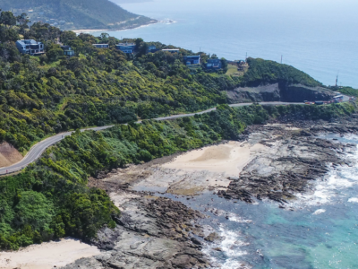
Reality Capture using Photogrammetry for Slope Stabilisation works
Reality capture and Digital survey for slope stabilisation Works As Executed drawings…
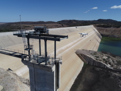
Inspection, Survey and Defect Mapping of Dam using Photogrammetry, Thermal IR and Imaging
High resolution inspection and defect mapping over more than 60,000m2 of concrete…
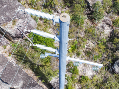
Aerial Scoping and Inspection of HV Feeders
Drone based aerial scoping of HV Feeders throughout low access-high risk areas…
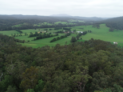
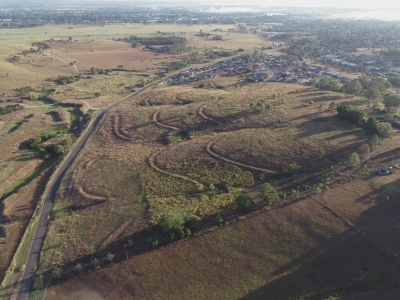
Drone LiDAR survey for DA Survey of Rural Land
Drone based contour survey and boundary stakeout of 30ha rural property for…
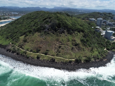
LiDAR Survey and Reality Model for Geotechnical Assessment of hillside
High resolution drone LiDAR survey and 3D reality modelling to inform geotechnical…
DA Survey of Semi-Rural Property using LiDAR
Drone based contour survey of semi-rural property for subdivision planning and DA…
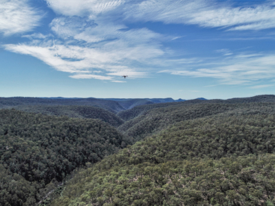
Geo-Hazard Mapping and Slope Risk Assessment
High resolution Drone-LiDAR survey for slope risk assessment of remote and densely…