geo-hazard
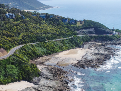
Reality Capture using Photogrammetry for Slope Stabilisation works
Reality capture and Digital survey for slope stabilisation Works As Executed drawings…
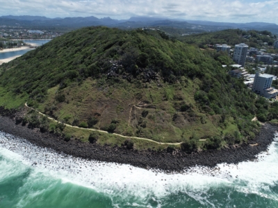
LiDAR Survey and Reality Model for Geotechnical Assessment of hillside
High resolution drone LiDAR survey and 3D reality modelling to inform geotechnical…
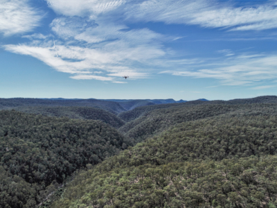
Geo-Hazard Mapping and Slope Risk Assessment
High resolution Drone-LiDAR survey for slope risk assessment of remote and densely…