feature extraction
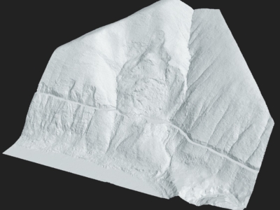
Drone Survey for Landslip Assessment
Drone LiDAR and photogrammetry survey of landslip area to identify extent of…
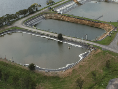
Water Treatment Plant Reservoir Survey and Modelling
Drone-Lidar and Photogrammetry survey of water treatment plant reservoir for condition assessment…
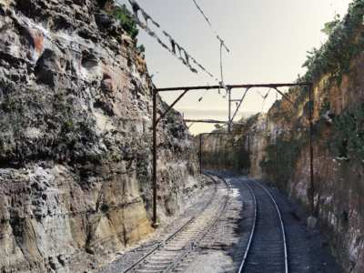
As-Built Survey of Rail Corridor for Engineering Design
High resolution drone LiDAR, photogrammetry and as-built survey of rail corridor for…
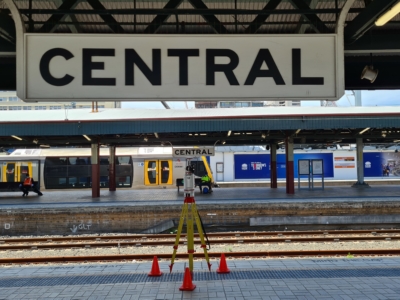
Sydney Central Yard Laser Scanning
Virtual feature and measurement extraction to assist with OHL tension analysis, reporting and…
LiDAR Survey of Historic Mining Area
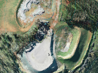
Drone-LiDAR Survey to develop a High resolution terrain model of historical mining…
LiDAR Survey of Roadside Cuts and Slopes for Stabilisation Designs
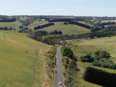
Drone-LiDAR derived topographic survey and photogrammetry modelling for slope stabilisation designs PROJECT…

