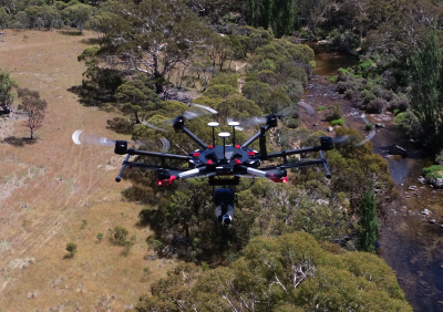
drone survey
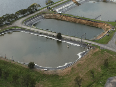
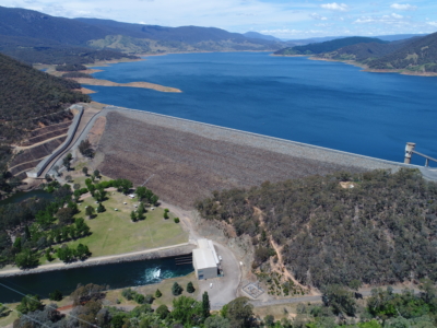
Water Treatment Plant Reservoir Survey and Modelling
Drone-Lidar and Photogrammetry survey of water treatment plant reservoir for condition assessment…
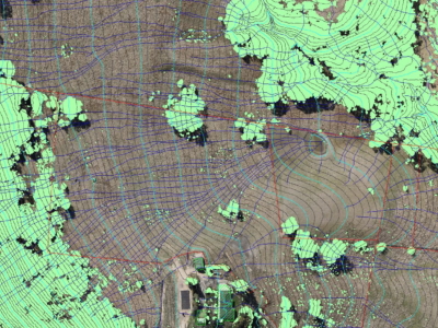
LiDAR for Topographic Surveys
Drone LiDAR Survey for terrain modelling and extracted topographic data for surveying…
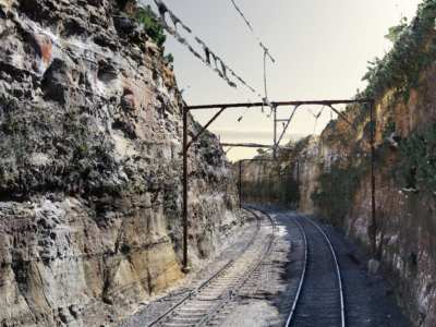
As-Built Survey of Rail Corridor for Engineering Design
High resolution drone LiDAR, photogrammetry and as-built survey of rail corridor for…
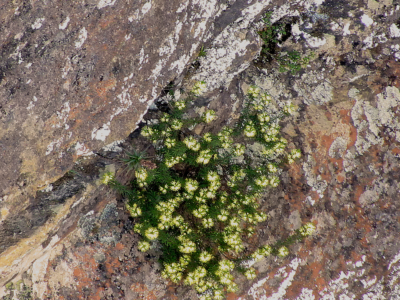
Environmental Spatial Solution to Survey Rare Plant Species
Aerial survey of the leionema lachnaeoides rare plant species in the blue…
Drone-LiDAR and Photogrammetry Modelling for Engineering Design
Drone-LiDAR Topographic Survey and High Detail Photogrammetry modelling of Thredbo Valley Track…
Diodrone presents at ANCOLD 2020 Online
In October 2020, Diodrone presented at ANCOLD 2020 Online. Our paper titled,…

