Photogrammetry Modelling
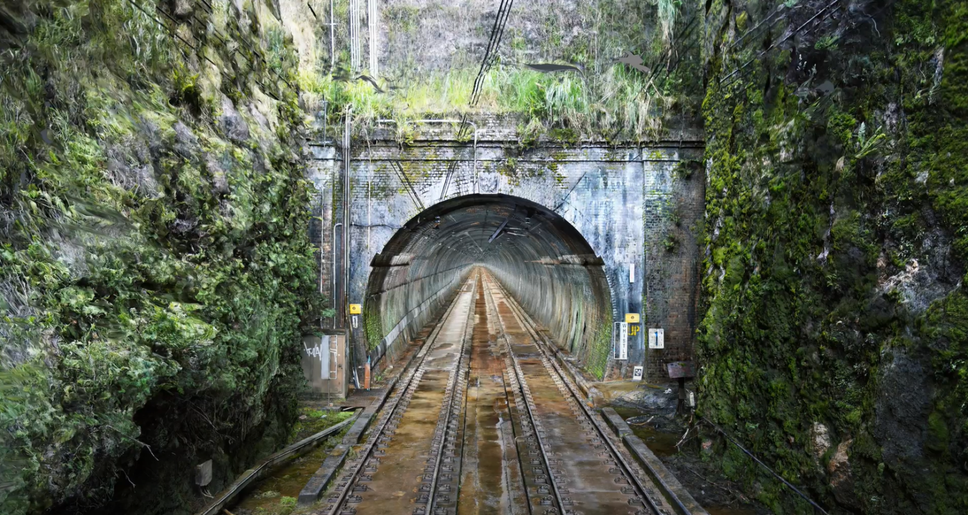
Diospatial’s industry leading photogrammetry modelling capabilities provide asset owners, asset managers and engineers with a high detail digital twin that is scale accurate and geolocated.
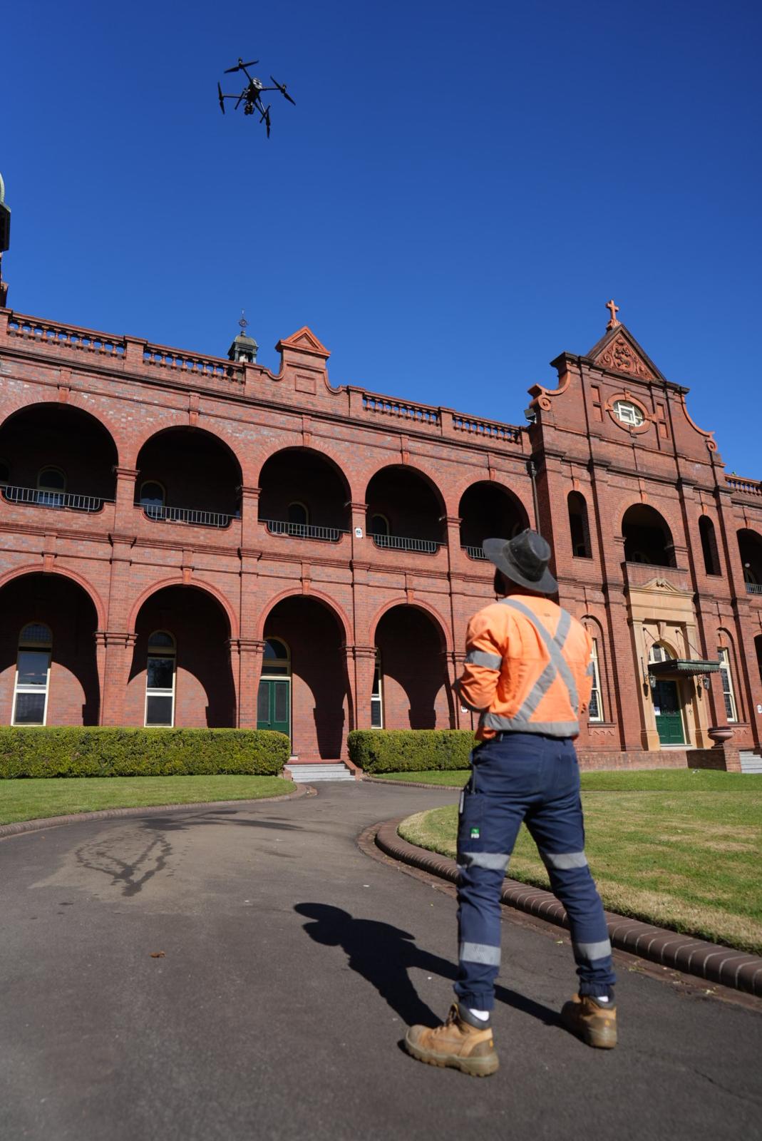
Photogrammetry modelling is captured using multiple types of capture methodologies, chosen to suit the project requirements and site conditions. Capture methodologies can include aerial, handheld and terrestrial.
Our photogrammetry modelling solutions are combined with a network of ground control points to ensure the model is scale accurate and geolocated, if needed.
Photogrammetry modelling is ideal for projects requiring rich visualisation of a site, ideally non-vegetated and high contrast environments like buildings, cuttings, large scale infrastructure.
At Diospatial, we work with your team to understand the specific application and then develop the most effective methodology – whether that is aerial photogrammetry, handheld photogrammetry, or combined with other reality capture technologies like drone LiDAR and laser scanning.
how does photogrammetry modelling work?
Photogrammetry modelling works by capturing high resolution images at a high rate of overlap, of a site or building. Combined with ground control and georeferencing metadata, the images are then processed in photogrammetry software to create a geospatially accurate 3D model of the site or environment that was captured.
To find out more about photogrammetry technology and how it works, visit our technologies page below.
applications of photogrammetry modelling
Diospatial’s photogrammetry modelling provides rich visualisation of a site that make it ideal for inspection and survey needs, including:
- Close visual inspection
- Condition assessment
- Defect mapping
- Survey of non-vegetated environments
- Reality modelling
- Digital archiving of heritage structures
- Engineering and architectural design and planning
- Construction planning and progress monitoring
- Change detection

deliverables
The deliverables from our photogrammetry modelling services vary to meet the project requirements, but can include:
- Reality model, deliverd in a file format that is suitable for use in the required software applications, like 3SM, 3MX, OBJ and more
- Point cloud
- High resolution imagery
- Orthographic 2D renders
- Web-based 3D GIS model that is available via an online platform to all project stakeholders

Our team is known for delivering the highest quality data and customer service in the industry. A relentless focus on quality control ensures we consistently meet or exceed project specifications. We understand client satisfaction requires client success, and our outcome-driven approach starts at scope development. We work with your team to ensure survey specifications and outputs are optimised to meet downstream user requirements and our support continues beyond delivery to ensure maximum utilisation of the data outputs.
Past Projects
3D Visualisation of Rail Tunnels
Hd imaging and 3d visualisation of rail tunnels to support inspection, design…
High Detail Digital Twin of Rail Bridge
High Detail Digital Twin of rail bridge to assist with the planning…
Photogrammetry Modelling of a Bridge
High detail photogrammetry modelling of a bridge for heritage archives. PROJECT OVERVIEW…
As-Built Survey of Rail Corridor for Engineerin…
High resolution drone LiDAR, photogrammetry and as-built survey of rail corridor for…
