As-Built Survey
Diospatial’s as-built surveys deliver unparalleled accuracy and precision, making them the ideal foundation for construction and architecture projects. Whether you’re planning a refurbishment project or want to capture a completed build for archival purposes, our As-Built survey solutions provide a reliable and detailed mapping solution, reducing costly errors and rework down the line.
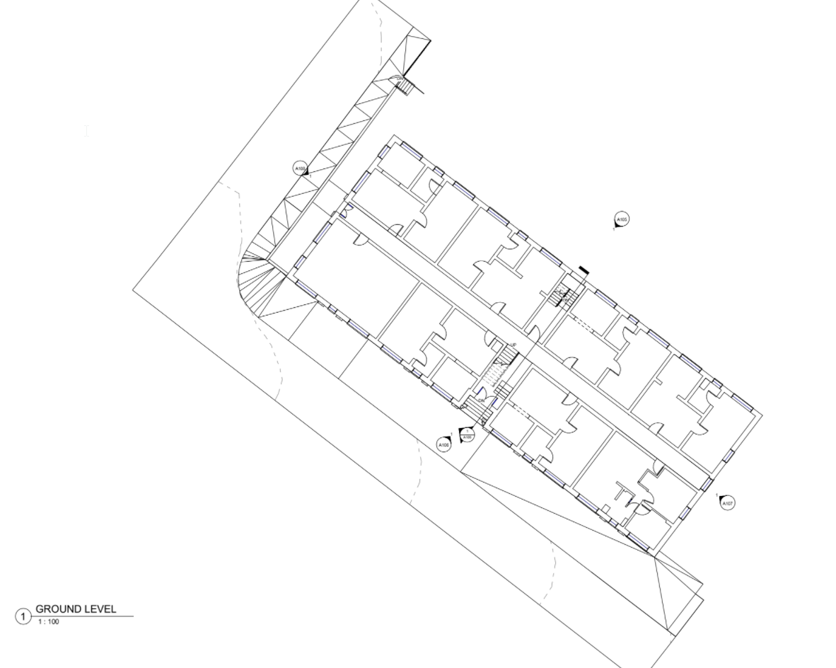
We use terrestrial laser scanning to capture a millimetre accurate point cloud that is assessed against a robust network of ground control points to deliver a reliable model. From the model, our expert data technicians extract 2D plan and elevation view PDF drawings for use by architects and engineers.
our as-built surveys are millimetre accurate and reliable – reducing the risk of rework on a project
Our expert reality capture team use a range of tools to suit the needs of the site, combining other reality capture tools such as drone LiDAR, drone photogrammetry or hand-held imagery where areas of the site are difficult to access. This ensures we provide our clients with a comprehensive capture of any building, structure or site.
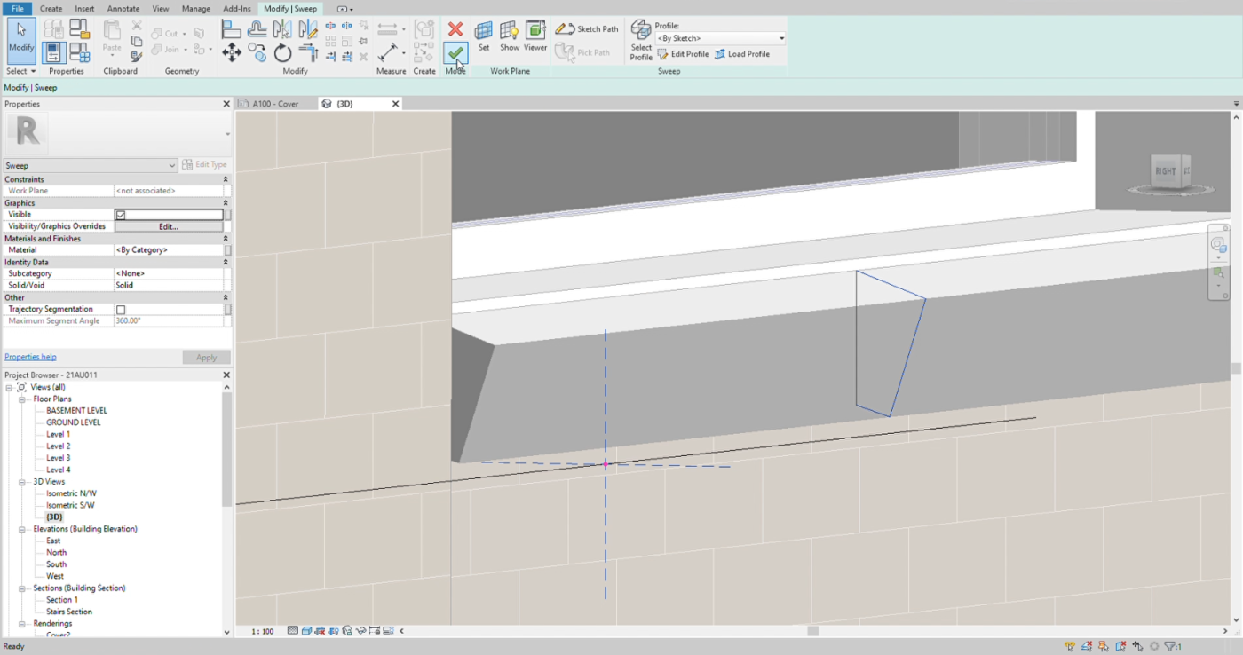
Once the data is collected, our expert data technicians process the point cloud to create a BIM model that is compatible with any software programs that are being used by stakeholders on the project, such as CAD and Revit. From these 3D models, our data technicians extract 2D PDF drawings in plan and elevation view that are delivered alongside our BIM model, offering versatile deliverables to meet the specific needs of your project.
BENEFITS OF DIOSPATIAL’S AS-BUILT SURVEYS
When captured as the first step in a construction and design project, Diospatial’s As-Built survey solutions provide significant benefits, including:
- A reliable As-Built survey solution that has exceptional accuracy and detail
- Reduced project risks due to highly precise measurements
- Efficient project planning and reduced rework
- Compatible with industry-standard design tools (CAD, Revit)
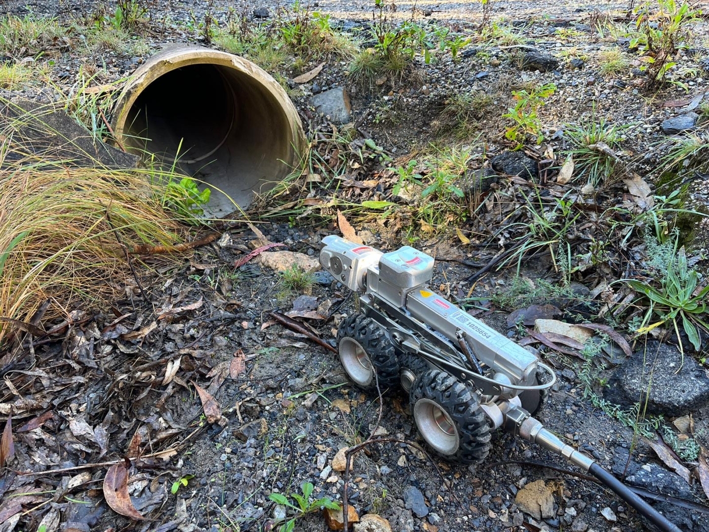
- Comprehensive data collection in hard-to-reach areas
- Suitable for both new builds and renovation projects
- Suitable for any construction project, including civil structures, buildings (commercial, residential and industrial) and infrastructure


APPLICATIONS OF As-Built Surveys
Diospatial’s As-Built surveys are the ideal starting point to any design project, and the final step in any construction project to capture the final as-built project. This makes them ideal for:
- Architectural design
- Construction design and planning
- Heritage building archival
- BIM modeling of complex environments, including factories, plant rooms, and piping
- Facilities management and maintenance planning
- Renovation and refurbishment of existing structures
- Infrastructure and utilities mapping
- As-Constructed / Work-As-Executed for civil, structural and geotechnical construction projects
DEliverables of As-Built Surveys
Our team of expert data technicians develop a reporting solution that provides engineers and architects with the most insightful, reliable and accurate deliverables.
Depending on the specific project requirements, different data deliverables can be produced. This may include, but is not limited to:
- 3D BIM models (CAD, Revit compatible)
- 2D floor plans
- Elevation and section views
- Point cloud
- Colourised point cloud with click-to-view images
- High resolution imagery
- Construction progress tracking with repeat captures at set milestones
- Web based 3D model hosted on Pointerra, with all geospatial data


QUALITY, EXPERIENCE AND TRUST IS WHAT SEPARATES DIOSPATIAL FROM EVERYONE ELSE
Our team is known for delivering the highest quality data and customer service in the industry. A relentless focus on quality control ensures we consistently meet or exceed project specifications. We understand client satisfaction requires client success, and our outcome-driven approach starts at scope development. We work with your team to ensure survey specifications and outputs are optimised to meet downstream user requirements and our support continues beyond delivery to ensure maximum utilisation of the data outputs.
Past Projects
As-Built Survey of Rail Corridor for Engineerin…
High resolution drone LiDAR, photogrammetry and as-built survey of rail corridor for…
Scan-to-CAD for Fabrication Design
Terrestrial laser scanning As-Built survey of existing shade structure for detailed design…
Completing the project lifecycle with As-Built …
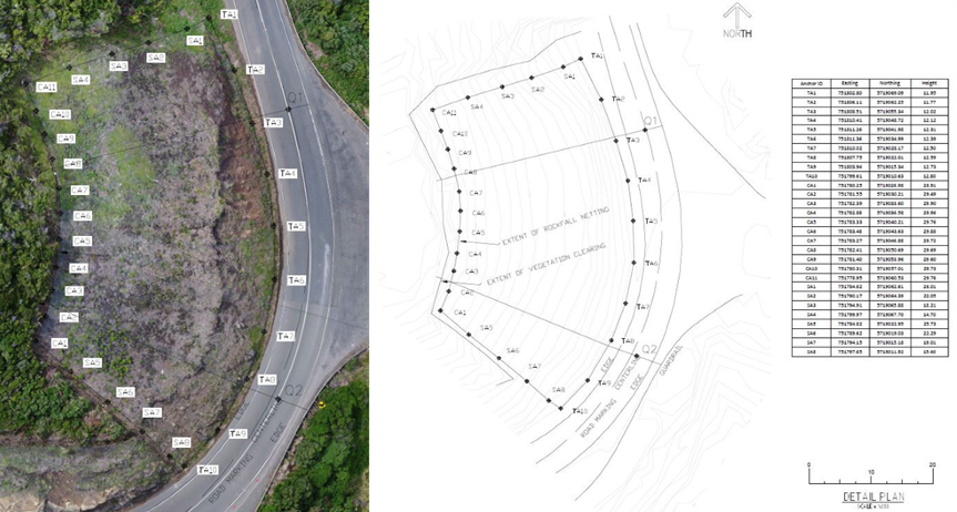
Returning to sites in Victoria for as-built surveys of completed slope stabilisation…
As-Built Survey of Train Station
Terrestrial laser scanning survey to produce as-built survey of train station for…
