Survey & Laser Scanning
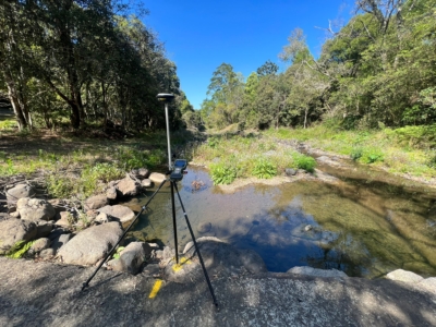
Survey Solution for Flood Recovery Works
Drone LiDAR, orthophoto, conventional survey and services location of 37no. sites to…
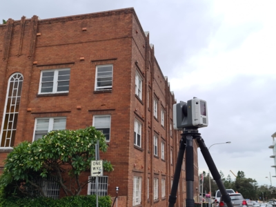
Survey of Residential Building
As-Built SURVEY AND Scan-to-Revit workflow OF RESIDENTIAL APARTMENT FOR DESIGN of remediation…
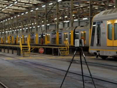
Sydney Central Yard Laser Scanning
Virtual feature and measurement extraction to assist with OHL tension analysis, reporting and…
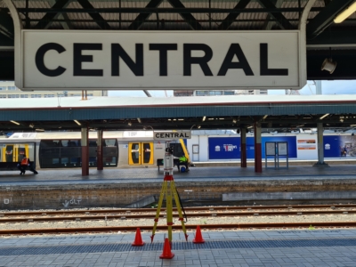
As-Built Survey of Train Station
Terrestrial laser scanning survey to produce as-built survey of train station for…
Work As Executed Survey Using Photogrammetry
A Scan-to-CAD workflow done a little bit differently – using Drone Photogrammetry…
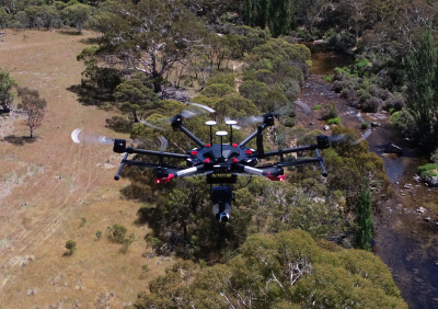
Drone-LiDAR and Photogrammetry Modelling for Engineering Design
Drone-LiDAR Topographic Survey and High Detail Photogrammetry modelling of Thredbo Valley Track…
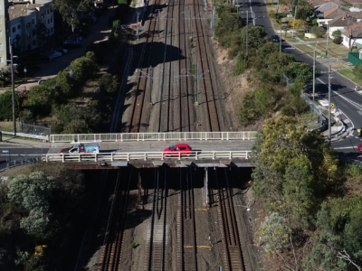
Laser Scanning of Bridge Road for Design
Laser Scanning survey and photogrammetry reality model of bridge and surrounding areas…
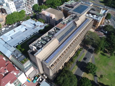
Laser Scanning and Inspection of Rooftop Plant Room
Laser Scanning and drone inspection for condition assessment and Survey of NSW…
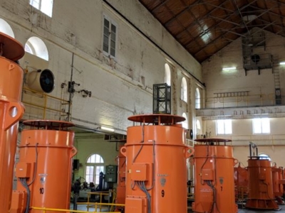
Pumping Station Reality Capture using Laser Scanning
Confined space Terrestrial Laser Scanning of sub-terranean pump wells for engineering design…
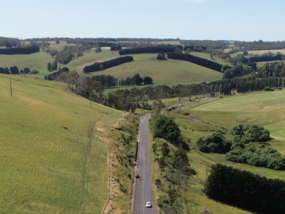
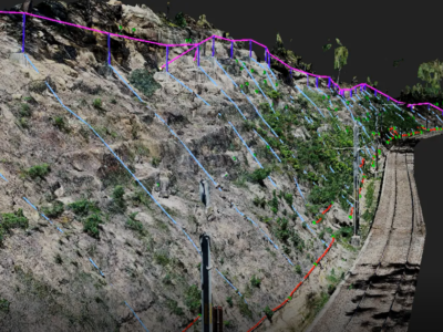
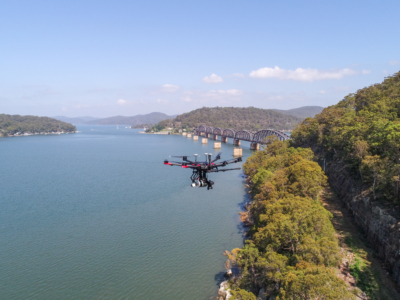
LiDAR Survey of Roadside Cuts and Slopes for Stabilisation Designs
Drone-LiDAR derived topographic survey and photogrammetry modelling for slope stabilisation designs PROJECT…
OHL Inspection and Monitoring using Laser Scanning
Laser Scanning and drone-inspection for OHL conformance and clearance monitoring PROJECT OVERVIEW…
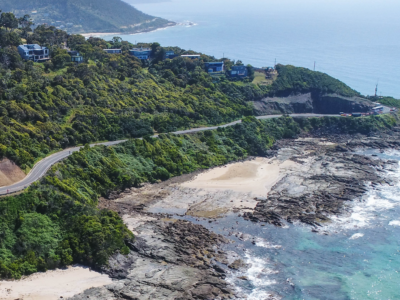
Reality Capture using Photogrammetry for Slope Stabilisation works
Reality capture and Digital survey for slope stabilisation Works As Executed drawings…
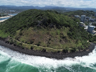
LiDAR Survey and Reality Model for Geotechnical Assessment of hillside
High resolution drone LiDAR survey and 3D reality modelling to inform geotechnical…
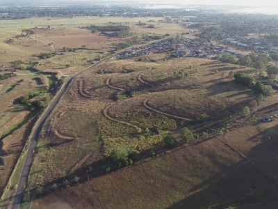
DA Survey of Semi-Rural Property using LiDAR
Drone based contour survey of semi-rural property for subdivision planning and DA…
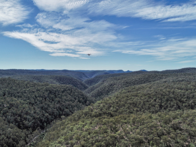
Geo-Hazard Mapping and Slope Risk Assessment
High resolution Drone-LiDAR survey for slope risk assessment of remote and densely…
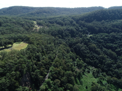
LiDAR Survey for Geotechnical Assessment
High resolution Drone LiDAR survey of Illawarra Escarpment for geotechnical assessment and…
Rail Corridor Drainage Mapping
Drone LiDAR survey through dense vegetation to identify and Complete surface drainage…
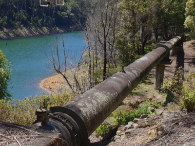
Inspection of water supply pipeline
High detail Reality Capture over 5km of water supply pipeline using drone…