Inspection

Culvert Dilapidation Inspection
Visual inspection and reporting of culvert condition and structural integrity to support…
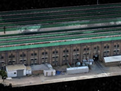
3D Reality Model of Building for Remote Inspection
High resolution drone-based imaging and photogrammetry derived 3D reality model of warehouse…
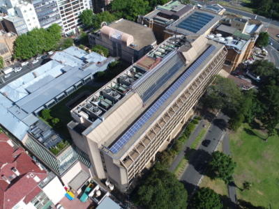
Laser Scanning and Inspection of Rooftop Plant Room
Laser Scanning and drone inspection for condition assessment and Survey of NSW…
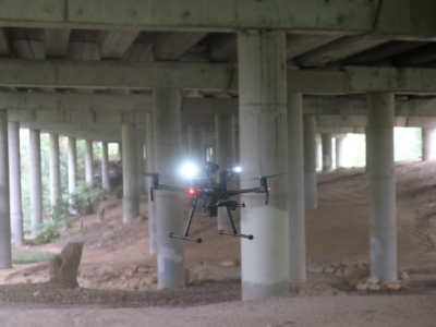
Close Visual Imaging for Bridge Inspection of Motorway Underdeck
Drone-based Close visual inspection of underdeck areas for Level 2 Inspection of…
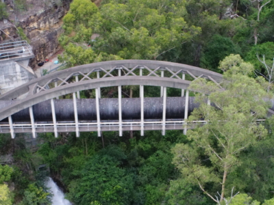
Reality Capture for Motorway Bridge Inspections
Close visual inspection and 3D reality model of 40no. spans of Dual…
Bridge Inspection and LiDAR derived Geotechnical Assessment of Abutments
Close visual Bridge inspection and LiDAR survey for geotechnical assessment of abutments…
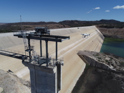
Inspection, Survey and Defect Mapping of Dam using Photogrammetry, Thermal IR and Imaging
High resolution inspection and defect mapping over more than 60,000m2 of concrete…
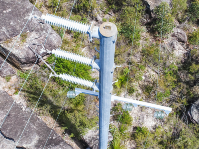
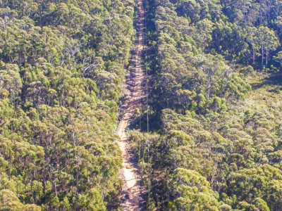
Aerial Scoping and Inspection of HV Feeders
Drone based aerial scoping of HV Feeders throughout low access-high risk areas…
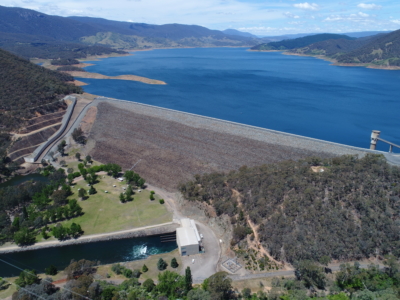
Dam Defect Mapping
Drone-based inspection, digital defect mapping and precision aerial survey for one of…
HV Feeders Inspection
Aerial scoping and inspection of HV Feeders throughout low access-high risk areas…
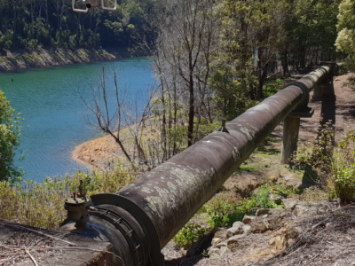
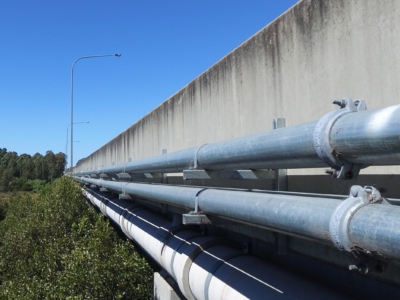
Inspection of water supply pipeline
High detail Reality Capture over 5km of water supply pipeline using drone…