Geotechnical Survey
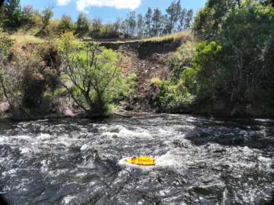
Bathymetric and Topographic Survey
Hydrological and terrain modelling of river embankment and adjacent road to support…
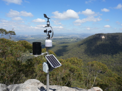
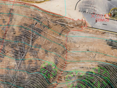
Geotechnical Monitoring solution For High Risk slopes
monitoring of road corridor and associated high risk slopes to support on-going…
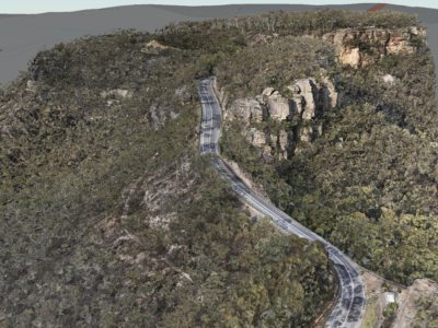
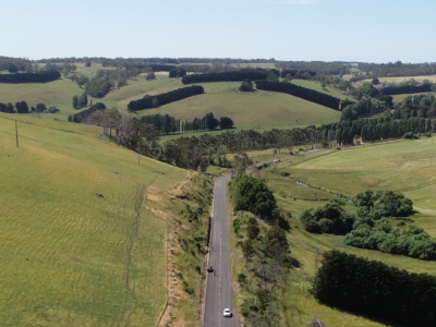
Geospatial Survey of Road Corridor
Drone LiDAR, photogrammetry modelling, terrestrial laser scanning and detail survey of road…
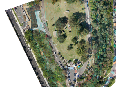
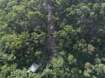
Aerial Survey of Council Lookout for Geotechnical Assessment
Drone-LiDAR survey and 3D photogrammetry modelling of slopes and surrounding area of…
Complete Spatial Solution for Geotechnical Assessment
LiDAR, photogrammetry and Laser Scanning of road corridor and landslip for geotechnical…
Geospatial Survey for Geotechnical Assessment
Drone LiDAR, photogrammetry modelling and geospatial analysis of rockfall and landslide to…
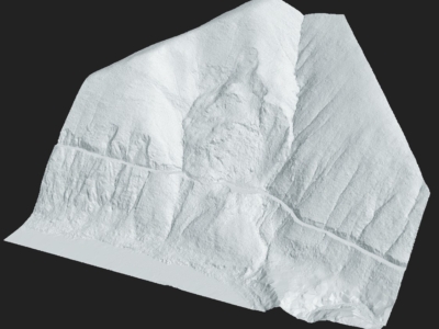
Drone Survey for Landslip Assessment
Drone LiDAR and photogrammetry survey of landslip area to identify extent of…
Completing the project lifecycle with As-Built surveys
Returning to sites in Victoria for as-built surveys of completed slope stabilisation…
Slope Drainage Monitoring and Watershed Analysis
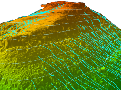
LiDAR and geospatial analysis of rail corridor slopes for inspection and monitoring…
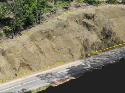
LiDAR Survey of Roadside Cuts and Slopes for Stabilisation Designs
Drone-LiDAR derived topographic survey and photogrammetry modelling for slope stabilisation designs PROJECT…

