Bathymetric Survey
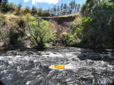
Bathymetric and Topographic Survey
Hydrological and terrain modelling of river embankment and adjacent road to support…
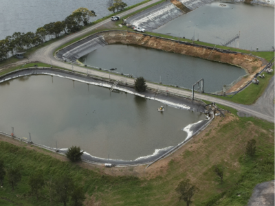
Water Treatment Plant Reservoir Survey and Modelling
Drone-Lidar and Photogrammetry survey of water treatment plant reservoir for condition assessment…
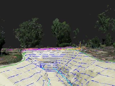
Complete Spatial Survey Solution
Geospatial survey solution combining drone lidar, photogrammetry, laser scanning and multi-beam sonar…
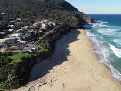
Coastal Erosion
A reasearch and development project utilising drone LiDAR and Photogrammetry for coastal…


