Complete Spatial Survey Solution
Geospatial survey solution combining drone lidar, photogrammetry, laser scanning and multi-beam sonar into one 3d digital twin
PROJECT OVERVIEW
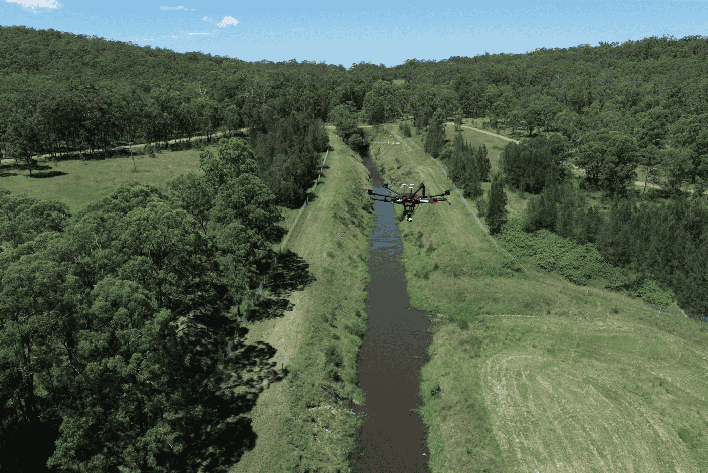
Diospatial was engaged by engineering consultants to provide a geospatial survey of a canal. The brief included 3D spatial coverage of areas and site features which were above and below water line.
The survey outputs were required to support design and planning of remedial and upgrade work. Specific areas requiring high detail and precision were identified and a spatial solution was developed to suit.
Diospatial captured and combined four spatial data types to deliver one complete spatial solution for the project.
DIOSPATIAL SOLUTION
With consideration for the survey environment, project constraints and engineering requirements, Diospatial developed a solution which included a combination of topographic, reality capture, and bathymetric survey techniques and technologies.
Drone LiDAR was used to capture a high resolution point cloud of the survey areas above waterline—rapidly providing reliable topographic information even in heavily vegetated areas.
A multi-beam sonar point cloud was then integrated with the LiDAR point cloud and a combined topographic-bathymetric terrain model was developed.
High resolution and detail imagery was captured of the site and processed in photogrammetry software to create a high accuracy 3D reality model of the survey area—providing rich visualisation and site context as well as allowing extraction and modelling of certain site features.
And at specific locations where high precision was required, terrestrial laser scanning was completed to develop a point cloud which could support detailed design and upgrade of mechanical infrastructure present at the site.
Pointerra3D unlocked significant value from the survey data, which is often un-realised in more conventional deliverable formats.
Deliverables included the various data in their native file formats for use in 3rd party design applications, as well as combined into a web-based 3D digital twin.
The digital twin was powered by Pointerra3D, a web-based platform which allowed users to visualise, interrogate, and collaborate without the need for specialist software or powerful computing
PROJECT SCOPE
Drone LiDAR and Photogrammetry
Terrestrial Laser Scanning
Multi-Beam Sonar
Pointerra3D Digital Twin