3D Visualisation of Rail Tunnels
Hd imaging and 3d visualisation of rail tunnels to support inspection, design and planning in difficult to access locations.
PROJECT OVERVIEW
Extensive infrastructure upgrades were planned across 16kms of rail corridor, in particular in the rail corridor tunnels where accessibility is difficult during rail operations. Diospatial was approached by the rail operator to develop a remote site inspection solution which would support digital and remote workflows for the inspection, design, and planning of upgrade and renewal works.
Project Scope
DIOSPATIAL SOLUTION
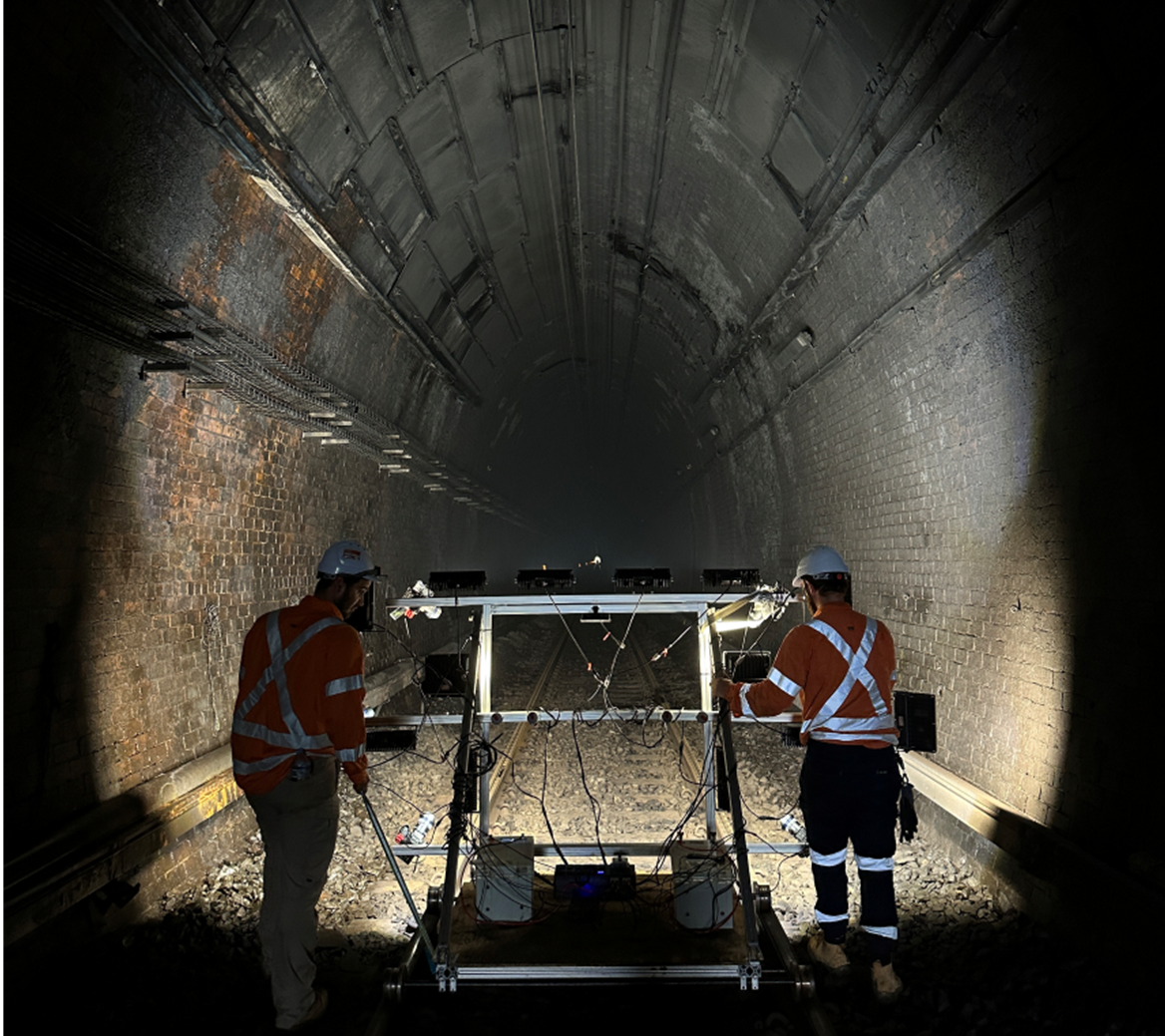
Diospatial developed a photogrammetry capture methodology that used trolley mounted and handheld HD imagery capture systems. This system provided a productive means of capturing the very high specification 3D model and visualisation outputs required to meet the project brief.
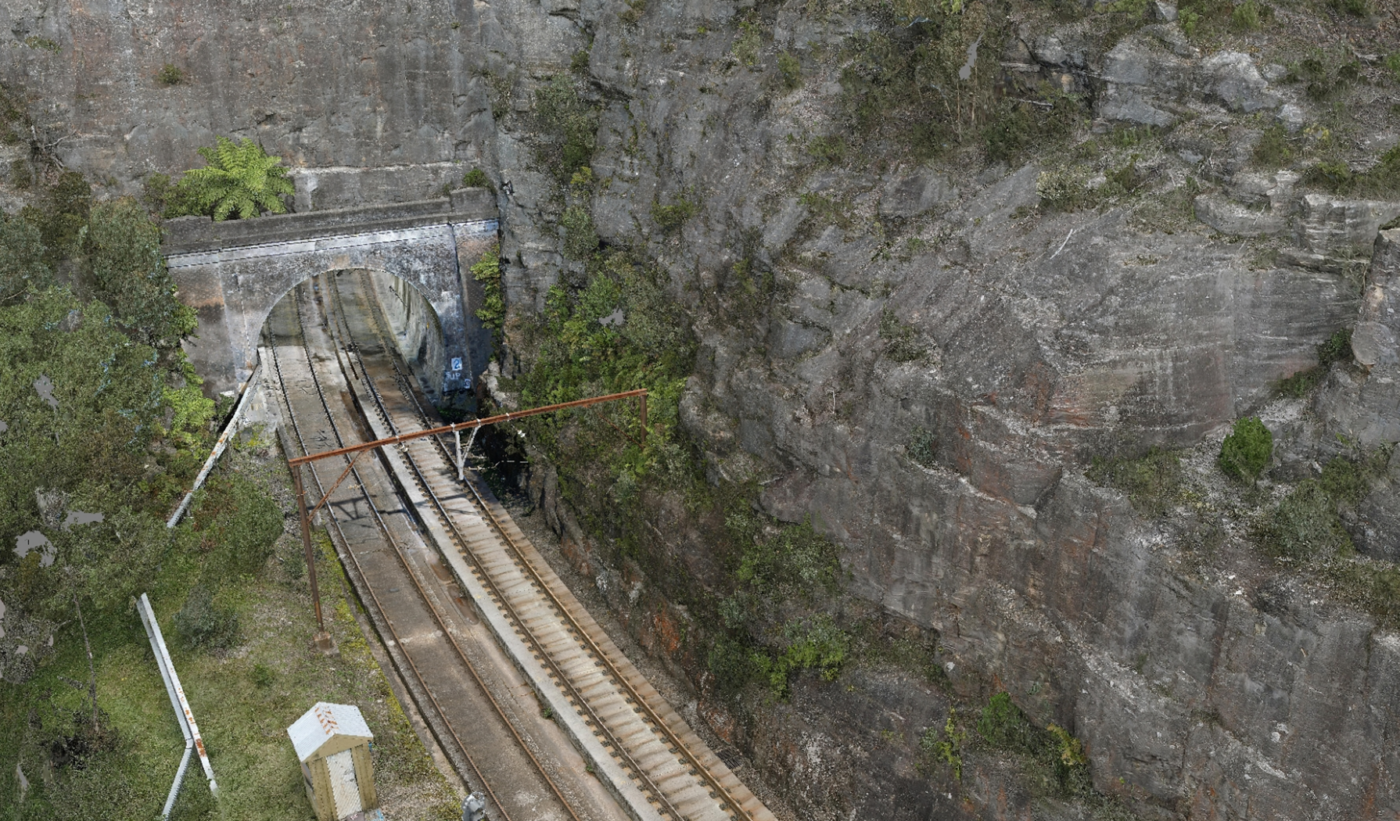
Drone photogrammetry was used to capture the entry to rail tunnels that were hard to access like cuttings. While the mobile photogrammetry system (MPS), handheld and drone photogrammetry was used to capture the internals of tunnels, allowing for high detail to be captured.
A survey control network was established and referenced to the Sydney Trains rail survey marks (RSMs) to check and verify the accuracy of the geospatial data against the Sydney Trains rail network.
The high resolution imagery was then processed using photogrammetry software to produce a high detail 3D reality model of the rail tunnels.
High detail high resolution reality model of rail tunnels reduced the need for rail possession and site visits across multiple project stakeholders, and supported the design of upgrade works.
The photogrammetry model of the tunnels was compared with previous high accuracy laser scanning surveys of the same locations and achieved an average of 5mm difference across each tunnel cross section assessed.
The level of detail was so that labels and numbers could be read on infrastructure allowing easy identification by project stakeholders. As a result, engineering firms working on the design phase of the works have been using the model beyond the original scope to support upgrade designs.
The final 3D reality model was hosted on a web-based Digital Twin platform, Pointerra. This allowed project stakeholders to visualize and collaborate on the 3D model and without the need for specialist software or powerful computing hardware.
Digital Twin of rail tunnel for Asset inspection:


